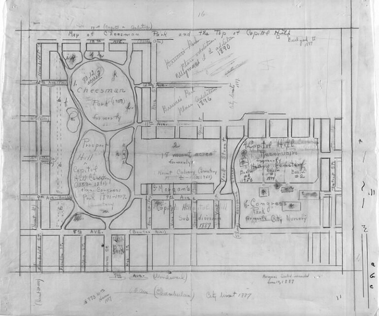
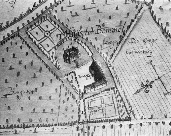
As navigational tools and artistic works, hand-drawn maps have impacted our worldview. These complicated works of art convey the cultural, political, and scientific understanding of their time, linking us to the past while also showing the skill of their creators. Hand-drawn maps, with their unique touches and interpretations, evoke wonder and appreciation for our planet. Despite the emergence of digital technology, hand-drawn maps are cherished for their beauty and elegance, serving as a reminder of the power of human craftsmanship.
The Historical Significance of Hand-Drawn Maps
Throughout history, hand-drawn maps have formed our perspective. These intricate works of art served as navigational aids and showed their cultural, political, and scientific knowledge. Hand-drawn maps showed adventure and discovery, from ancient civilizations carefully delineating their limits to Renaissance cartographers depicting uncharted areas. They provided a physical link to the past while also revealing the minds of those who worked tirelessly to construct them. These maps depicted the world’s beauty and complexity via human ingenuity and resourcefulness.
The Artistry and Craftsmanship of Hand-Drawn Maps
Hand-drawn maps, both functional and attractive, reflect the ability and craftsmanship of their creators. Each map demonstrates the time, precision, and care required to develop it. Cartographers drew and shaded topography, landmarks, and landscape texture for hours. The mapper customized these maps to reflect their creative style and vision. Hand-drawn maps are not only beautiful and precise; they also evoke wonder and reverence for our planet.
The Personal Touch and Unique Interpretations in Hand-Drawn Maps
A personal touch distinguishes hand-drawn maps from their computerized equivalents. Every pen stroke and thoughtfully selected element conveys the cartographer’s own personality and point of view. These maps contain the artist’s feelings, experiences, and opinions in addition to being accurate depictions of geographical elements. Hand-drawn maps provide insight into the creative mind that created them, whether it is through the amusing images that cover the margins or the delicate shading that adds dimension to the landscapes. They encourage us to adopt a new perspective on the world, appreciating the quirks and individualized interpretations that make them genuinely enthralling pieces of art.
The Revival and Appreciation of Hand-Drawn Maps in the Digital Age
In today’s modern era of digital cartography, individuals are displaying a revived fascination with conventional manually-created maps. In spite of the undeniable convenience and precision of digital maps, there has been a noticeable surge in the popularity of hand-drawn maps due to their captivating visual appeal and artistic worth. They remind us of an era when map-making was regarded as both an artistic pursuit and a recreational pastime. In a society where uniformity reigns supreme and everything is manufactured on a large scale, handcrafted maps shine as exceptional masterpieces. They demonstrate the human touch, the faults that make them appealing, as well as the power of art in a day where everything is computerized.
Despite the fact that digital technology reigns supreme, hand-drawn maps remain revered. These intricate works of art served as navigational aids and highlighted human ingenuity and resourcefulness. Hand-drawn maps express the ideas of their creators and inspire amazement and admiration for our planet. While digital maps are more convenient, the revival and renewed adoration for hand-drawn maps remind us of the power of creativity and its unparalleled appeal to our worldview.
Photo Attribution:
1st & featured image by https://commons.wikimedia.org/wiki/Category:Hand-drawn_maps#/media/File:Hand_drawn_map_of_historical_points_of_interest_in_Cheesman_Park_-_DPLA_-_434916f81a66bd76e192e2c12779f887.jpg

